
Portland-Columbia Toll Bridge for the Delaware River Joint Toll Bridge Commission
Portland, Pennsylvania & Columbia, New Jersey
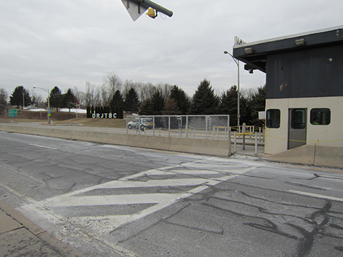
As part of a project to improve the roadways leading to the Portland-Columbia Toll Bridge, BANC3 was asked to provide surveying services to show the limits of the property boundaries.
In an effort to identify and map the boundaries of all of the Delaware River Joint Toll Bridge Commission's New Jersey property BANC3 took the following approach:
- We researched and plotted all plans and maps provided by the Bridge Commission.
- We obtained all appropriate information available from outside title and deed research not already included in the Commission's records.
- We plotted deed, right-of-way and property records to generate the necessary mosaic needed to recover and locate any existing boundary markers relative to the subject project.
- We performed field reconnaissance and locations of survey control markers which included the use of Global Positioning Systems (GPS), and conventional Total Station.
- We verified the positioning and accuracy of the mapping through our ground field locations and redundant measurements of survey control points.
Using all the complied and analyzed data, deeds and R.O.W. plans and recovered project control markers, BANC3 prepared a Jurisdictional Boundary Plan. BANC3's research and analysis of the area had shown that the area that was designated as the proposed Right-of-Way by the NJDOT was in fact shown as the limit of the Commission's boundary.